Hackathon Guide
Syngenta & CE Hub's START Global 2024 API Docs.
Not sure where to start? Visit our documentation page, there you will found all information needed to start building your project.
Access documentation page
Not sure where to start? Visit our documentation page, there you will found all information needed to start building your project.
Access documentation page
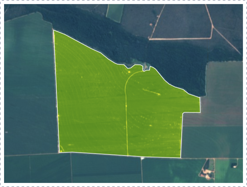
On Cropwise Imagery you will found NDVI and Visual satellite images for your farm drawn fields.
Access Cropwise ImageryThe Normalized Difference Vegetation Index is a simple indicator of photosynthetically active biomass. With NDVI you can differentiate vegetation from other types of land cover (artificial).
Read more about NDVI

Cropwise Imagery has a tool that allows you to download images in the following formats: PNG, JPEG and Tiff.
You can open your downloaded tiff images on a tool like QGIS where you will be able to analyse geographic information.
Download QGIS
